Featured Projects
Selected deliveries across infrastructure, renewable energy and marine

Integrated geospatial, UAV and digital construction services for UK and international infrastructure projects. From Ground Truth to Digital Insight.
Integrated capability across engineering, surveying, UAV and digital construction
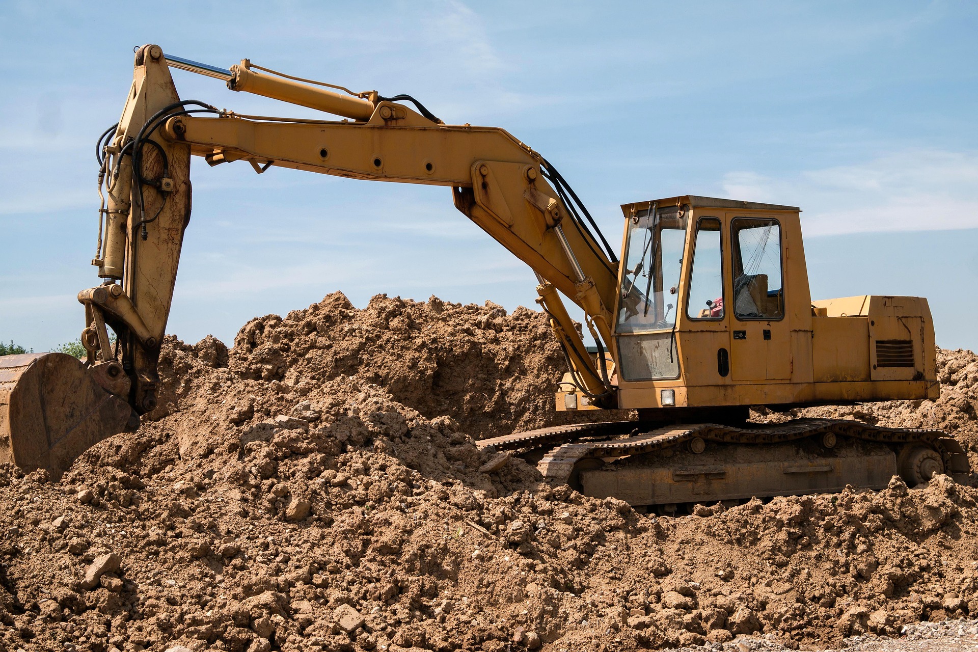
Site engineering, structural support, QA/QC and construction coordination
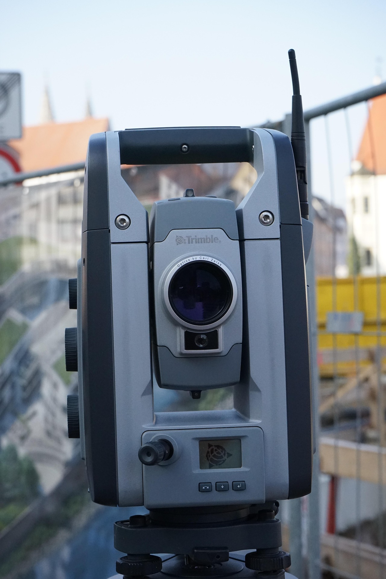
Topographic surveys, control networks, setting out and as‑built verification
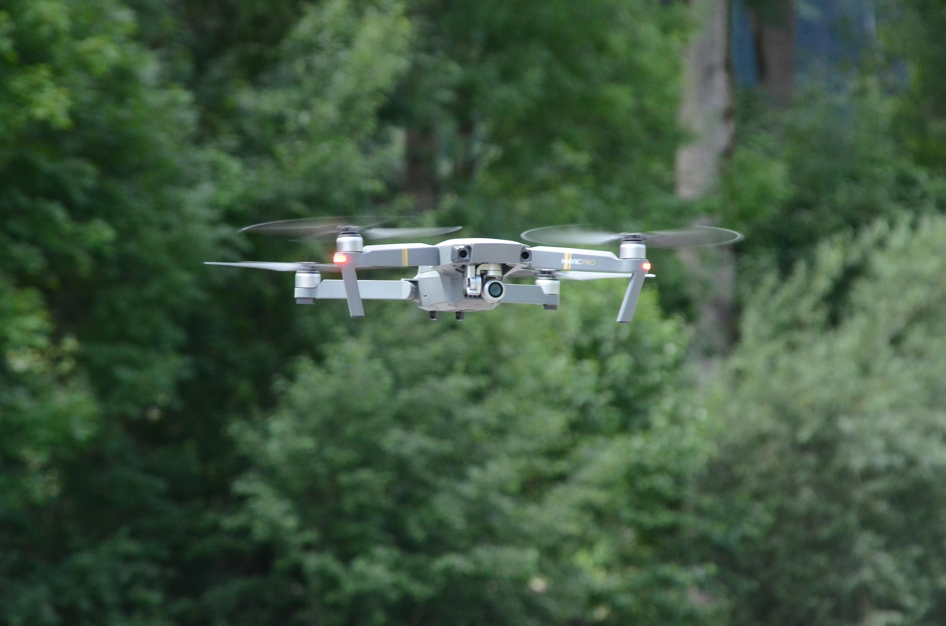
RTK drone surveys, orthomosaics, point clouds and DEM/DTM generation
GNSS machine control, GIS mapping, CAD modelling and earthworks optimisation
Enterprise-grade capabilities for precision delivery on major infrastructure projects.
Selected deliveries across infrastructure, renewable energy and marine